 look news india

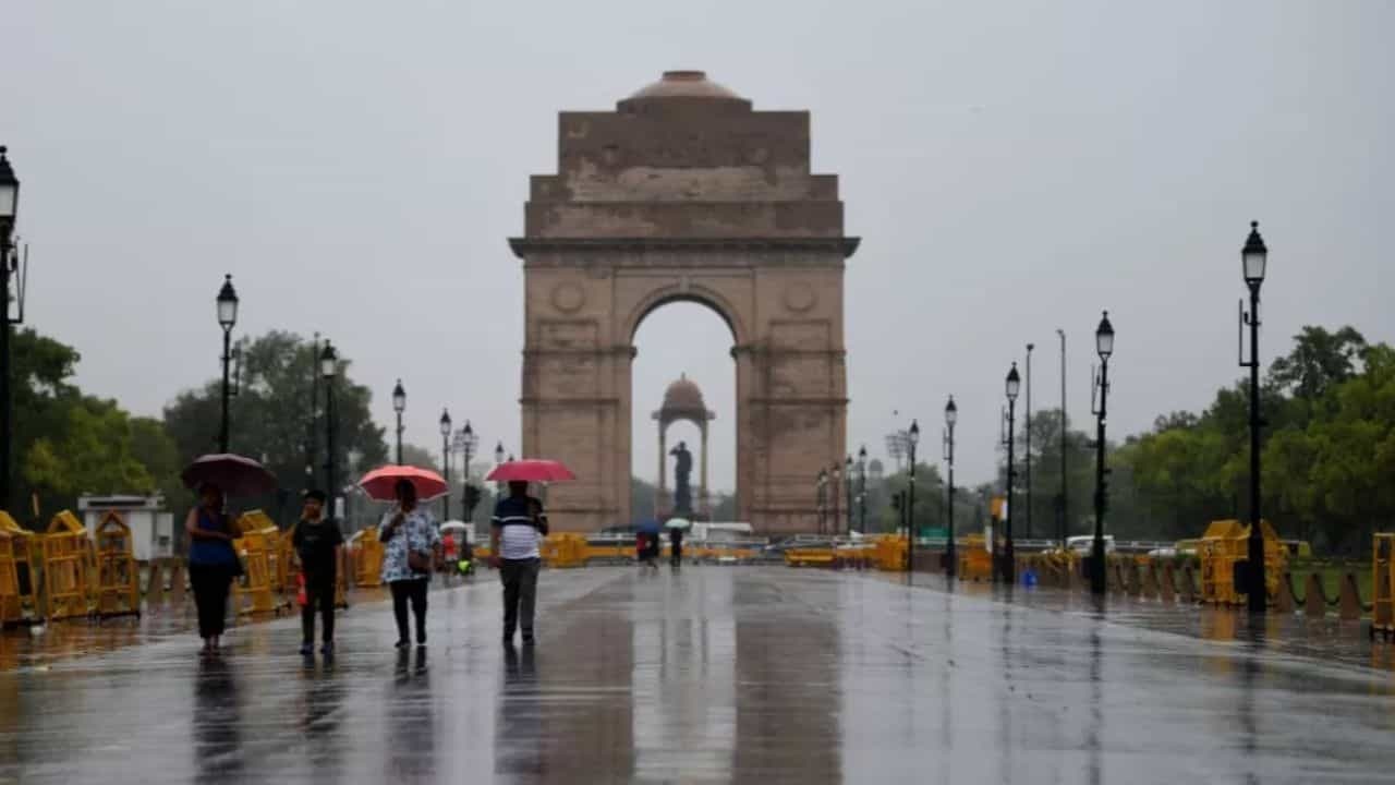
The weather pattern has now completely changed for the people of North and Central India, troubled by the scorching heat and severe heat wave. Due to pre-monsoon and Western Disturbance, dark clouds have camped in the sky. The Indian Meteorological Department (IMD) has issued a very serious warning for Delhi-NCR and its surrounding states.
There is a possibility of heavy rain with strong winds in Delhi and its neighboring areas in the coming few hours, due to which there will be a sharp drop in the temperature.
‘Orange alert’ for next 3 hours for Delhi-NCR
Meteorological Department has issued warning for Delhi-NCR and surrounding areas. Orange alert for next 3 hours Has been released. During this period, there is a possibility of severe dust storm, thunder and torrential rain. The most important thing is that the speed of the winds during this storm 90 to 100 kilometers per hour Can reach. People have been advised to avoid traveling during this period and stay in safe places. The Meteorological Department says that similar weather will continue in Delhi till June 13.
Uttar Pradesh: Pre-monsoon high alert in all 75 districts
There is news of both relief and caution for the people of Uttar Pradesh. A new western disturbance is becoming active in the state within the next 24 hours, which will further intensify the pre-monsoon activities.
-
All-round warning: IMD of UP all 75 districts Warning of thunderstorm, strong storm and rain has been issued.
-
Fear of hail and lightning: Heavy rain along with lightning and hailstorm are expected in many parts of Western Uttar Pradesh as well as Eastern UP on June 12 and 13.
-
Effect of three days: The weather pattern in Uttar Pradesh will remain the same for the next three days, due to which people will get complete relief from the scorching heat.
Weather condition according to states (12 to 17 June 2026)
Detailed information about how the weather is going to be during the next 5 days in different parts of the country can be seen in the table given below:
Monsoon Tracker: Entry in Bihar, now Delhi-UP’s turn
The biggest and relief news for the country is that the south-west monsoon is moving forward at a very fast pace. After knocking on time in Kerala, now Monsoon officially entered Bihar Have done.
Along with this, monsoon has spread rapidly in Karnataka, Telangana, Andhra Pradesh, remaining parts of Tamil Nadu and West Bengal.
Plan for the next 48 to 72 hours:
According to meteorologists, within the next two to three days, monsoon winds will reach Central Arabian Sea, some more districts of Maharashtra, Chhattisgarh, Odisha and Jharkhand. is about to knock in Uttar Pradesh. If the same pace of monsoon continues, then this time the monsoon will enter the country’s capital Delhi much before its scheduled time.
Heavy to heavy rain in eastern and northeastern India
Even in Eastern India, clouds have completely taken over. According to IMD:
-
Bihar: In many districts of the state Extremely Heavy Rainfall A red/orange alert has been issued.
-
Jharkhand and Odisha: There is a possibility of torrential rain here on 12th and 13th June.
-
West Bengal and Sikkim: Incessant rains with thunderstorms will continue over Sub-Himalayan West Bengal, Ganga plains and Sikkim till June 17.