 look news india

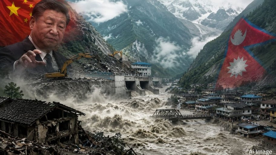
The recent flash floods and Glacial Lake Outburst Floods (GLOF) that devastated the Rasuwa and Bhotekoshi basins of northern Nepal have attracted worldwide attention. Initial reports attributed it to natural cloud burst and glacier sliding, but as the scope of investigation has expanded, its links are being seen to be linked to the massive construction work being done by China across the border in Tibet.
Environmentalists and geologists believe that the cause of this catastrophe is not just excessive rainfall, but China’s aggressive engineering activities in the extremely delicate ecological zone of Tibet.
Uncontrolled network of landmine blasts and dry ports on the mountains
China has built large-scale infrastructure along the Nepal-Tibet border (Kerung-Rasuwagadhi axis) over the years:
-
Heavy cutting of mountains and tunnel construction: China has repeatedly used heavy blasting and dynamite to build tunnels in the high mountain passes of Tibet as part of the Trans-Himalayan Connectivity and Belt and Road Initiative (BRI).
-
Huge Dry Ports and Roads: Millions of tonnes of debris were pushed into rivers and natural valleys to build a giant dry port, logistics hub and wide highways in Kerung, near the Rasuwa border.
-
Cracks in permafrost and tectonic plates: The vibrations of the heavy blasting loosened centuries of permafrost and the already weak tectonic layers of the Himalayas, weakening the natural walls of the upper lakes and glaciers.
Pressure and artificial obstructions on glacial lakes
Scientists assess that the natural flow of rivers was repeatedly disrupted due to heavy debris falling from the mountains in the upper catchment areas of Lhende and Bhotekoshi:
-
Damming and sudden explosion: When debris from landslides on the Tibet side accumulated in the narrow bends of the river, temporary natural lakes were formed there.
-
Glacier movement: When the pressure of huge amounts of ice and water applied on the weakened rocky slopes, huge sections of the glacier broke off and fell into these temporary lakes, causing a ‘tsunami’ like flow and devastating floods in the low-lying areas of Nepal.
Policy of hiding hydrological data increased losses
China’s data opaqueness has become the biggest controversy in this entire incident:
-
Lack of Upstream Data: China did not provide any real-time satellite and hydro-meteorological information to Nepal on time about the rising water level, expansion of glacial lakes or sliding of mountains in its area.
-
Not getting alerts on time: If there had been early warning about glacier burst or river blockage in Tibet, hundreds of laborers and local citizens present near 11 hydro projects and dozens of bridges in Nepal could have been evacuated safely.
Playing with Himalayan ecology poses a threat to the entire region
The Tibetan Plateau is called the ‘Roof of the World’ and the ‘Third Pole’. The climate and topography here is very delicate. Experts are of the clear opinion that unless there is international monitoring on uncontrolled and non-sustainable construction in the trans-boundary Himalayan regions, this engineering of Dragon will continue to prove disastrous for the entire South Asia.