 look news india

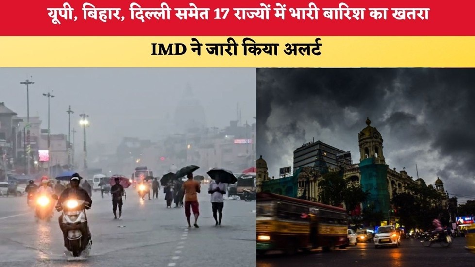
On one hand, while many parts of North India are facing the brunt of scorching heat and sticky humidity, on the other hand, the Meteorological Department has given a huge relief to the general public. The Indian Meteorological Department (IMD) has issued an alert of light to heavy and torrential rains in 17 states of the country.
According to meteorologists, along with this new round of rain, there is a strong possibility of strong storm and winds blowing at a speed of 40 to 80 kilometers per hour in the affected areas. Let us know in detail what the weather condition is going to be like in your state and city.
Why is the weather changing suddenly? (Weather System Update)
According to the Meteorological Department, behind this major change is a strong weather system formed in the sea:
-
Amazing low-pressure area: The low-pressure area formed over the Bay of Bengal and northern Odisha-West Bengal coast has now become stronger. Well-Marked Low Pressure Has been transformed into.
-
Direction to move forward: Within the coming two days, this system is expected to move towards North Odisha and Ganga plains of West Bengal. Due to the activation of this weather system, monsoon is once again gaining momentum across North and Central India.
Rain alert in these 17 states (IMD Alert List)
The 17 states for which IMD has issued rain and thunderstorm warnings mainly include:
North-eastern states including Uttar Pradesh, Bihar, Delhi, Punjab, Haryana, Uttarakhand, Himachal Pradesh, Jharkhand, West Bengal, Madhya Pradesh, Gujarat, Maharashtra and Assam.
Weather condition in Delhi-NCR and Uttar Pradesh (UP)
1. Capital Delhi (Delhi Weather Update):
-
17th July: The sky of Delhi-NCR is expected to be partly cloudy, which will provide relief from sunshine.
-
18th to 19th July (Main Alert): The weather will change completely in Delhi from 18th July. A period of heavy rain with thunder and lightning will begin, which may continue till July 19.
-
20th July: The pace of rain will slow down a bit, but there will be a possibility of light showers and drizzle.
2. Uttar Pradesh (UP Weather Update):
-
Eastern and Central UP: On July 17, there are chances of heavy rain in many districts of Purvanchal including Varanasi, Ghazipur, Jaunpur, Chandauli, Gorakhpur, Deoria, Kushinagar, Basti, Sant Kabir Nagar, Siddharthnagar and Maharajganj. 19 to 21 July There is an orange alert for extremely heavy rain and lightning in eastern UP during .
-
Western UP: The Meteorological Department has predicted rainfall in the districts of Western Uttar Pradesh from July 17 to 19. after this 19 to 22 July A severe warning of lightning along with torrential rain has been issued in some areas of western UP between 2017 and 2020.
Disaster rain in hilly states: Landslide warning (Hilly Areas)
The Meteorological Department has issued a very strict alert for the hilly states, as the risk of landslides and flash floods increases due to heavy rains here:
| Hill State/Territory | Alert period | Possible weather conditions and warnings |
| Uttarakhand | 17 to 22 July | Continuous rains will continue across the state. Between 18th and 21st July There is a warning of heavy to extremely heavy rainfall in many sensitive areas. |
| Himachal Pradesh | 17 to 22 July | Between 18th and 22nd July There will be widespread rainfall, while 19 to 22 July There is an alert of torrential rain in many tourist spots and districts during this period. |
| Jammu and Kashmir (J&K) | 18 to 22 July | There is a possibility of widespread rain in the state. During 19 to 22 July There will be torrential rain at some places and also 40 to 60 km/h The storm will blow at a speed of. |
Important advice from IMD: The Meteorological Department has given strict instructions to tourists and local residents traveling in these three hilly states to stay away from rivers and streams, not to take shelter under tall trees or electric poles during thunderstorms and to travel only when the weather is clear.