 look news india

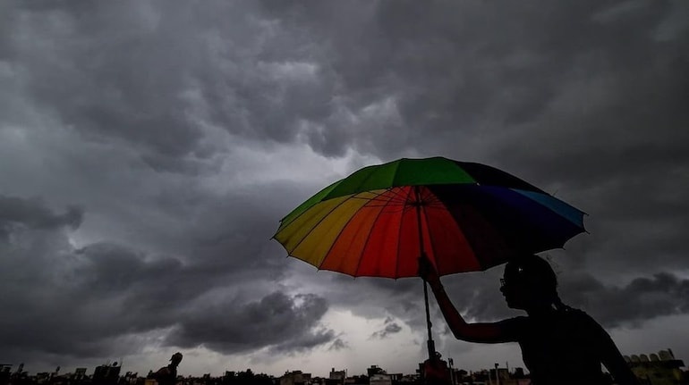
Crores of people of North India are currently facing a very strange situation. According to the calendar, the South-West Monsoon has slowly crossed the threshold of North India, but the people of Delhi-NCR, Punjab, Haryana and Western Uttar Pradesh are still looking towards the sky for heavy rains. Usually, in the areas where flood-like conditions used to occur in the last week of June, this time people are suffering from humidity and dry heat.
In such a situation, the big question arising in everyone’s mind is that when the weather department is saying that monsoon has arrived, then why this indifference of clouds? India’s most modern weather satellite has exposed this mystery INSAT-3DS The latest pictures of which have exposed the real and scientific reason for lack of rain in North India to the whole world.
Arrival of monsoon and rain; There is a world of difference between the two
Meteorologists have clarified that the official entry of monsoon in any area and continuous torrential rains there are two completely different things. According to IMD rules, the speed and extent of monsoon rainfall depends on a number of complex meteorological factors, including wind direction, moisture levels in the atmosphere and persistent pre-monsoon activity over a large area.
This is why when monsoon enters a state, it is not necessary that it rains simultaneously in every district and city. Many times the monsoon winds pass over an area, but the local weather there remains completely dry, hot and humid for many days.
What are the pictures from INSAT-3DS satellite saying?
Pictures taken from space by India’s advanced weather satellite INSAT-3DS have made clear this huge difference between North and Central India. Satellite data shows that the country is currently divided into two distinct seasonal regions:
| Regions | Cloud Cover Status in Satellite | weather patterns |
| Central and South India | Dense, dark and active accumulation of monsoon clouds | continuous and good rains |
| Bay of Bengal and Northeast | Strong cyclone of heavy moist clouds | period of torrential rain |
| Delhi-NCR, Punjab, Haryana | Sky completely clear or very partly cloudy | extreme humidity and dry heat |
| Rajasthan and Western UP | absence of clouds, dry winds | effect of strong sunlight and heat wave |
After all, why is the rain stuck in North India? This is the real scientific reason
According to INSAT-3DS images and analysis by meteorologists, the biggest villain behind the widespread lack of rain in North India is ‘Low-pressure system’ (low pressure area) Is not to be activated.
Importance of low pressure area: Normally, as the monsoon advances, a very strong low pressure area forms over the Bay of Bengal. This system works like a giant vacuum cleaner, sucking huge amounts of moisture from the ocean and pushing it towards the interior plains of the country (Central and North India). When this moisture hits the mountains and local winds, it causes torrential rain.
At present, no such strong low pressure area has developed over the Bay of Bengal. Due to this, the south-west monsoon winds coming from the sea are becoming very weak and dry by the time they reach the plains of North India. This is the reason that instead of continuous and widespread rainfall in Delhi-UP, light thunderstorms, thunderstorms or very sporadic showers are falling only in a few selected areas and becoming calm.
Weather will change in the beginning of July, monsoon will gain momentum again
The residents of Delhi-NCR and North India will not have to suffer from this humid heat for long. According to the latest estimates of the Meteorological Department, this dormant monsoon system is going to become very aggressive and active once again in the first week of July.
North of the equator, a very large and powerful weather system is currently developing rapidly over the eastern Indian Ocean. Meteorologists estimate that this system will enter the Bay of Bengal within the next 4 to 7 days. As soon as it reaches there, a new and very deep low pressure area will form over the sea, which will send a large batch of moist winds towards North India.
Along with this, scientists are also keeping an eye on another special cyclonic system forming over Western India (Maharashtra and Gujarat). As soon as both these systems become active together, with the beginning of July, the real and explosive phase of monsoon rains will begin in Delhi, UP, Punjab and Haryana, due to which there will be a huge drop in the temperature and people will get complete relief from this humidity.