 look news india

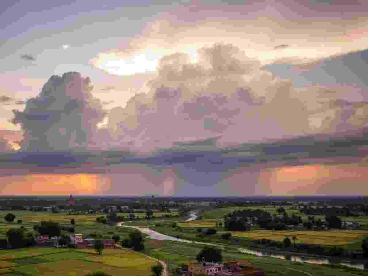
India’s agriculture, rural economy and general life depend entirely on the southwest monsoon rains. But this year monsoon expectations may face a big blow. Earth System Science Organization (ESSO) and India Meteorological Department (imd)’s latest climate bulletin has released such a worrying report, which has increased the heartbeats of everyone from policy-makers to farmers of the country.
According to the latest report, at this time in the Equatorial Pacific Ocean El Nino The situation has not only become fully active, but there is a scary possibility that it will become stronger in the coming days. Weather agencies have made it clear that along with the surface of the sea, a large belt of warm water has formed inside the sea (below the surface), which can weaken the monsoon winds.
After all, what is El Nino and how does it change the weather?
Many people hear the name of El Nino, but do not understand how the movement in the sea thousands of kilometers away spoils the weather in India.
In simple words, El Nino is a global climate pattern. On normal days, strong winds blowing in the Pacific Ocean push warm water towards Asia and Australia (Western Pacific), which causes good rainfall in our area. But when these winds weaken, that warm water turns back and starts spreading towards the central and eastern Pacific Ocean (towards America). This warm phase is called ‘El Nino’. It changes the entire system of wind and atmospheric pressure, which causes heavy floods in one part of the world, or drought or less rainfall in countries like India. This whole process is called ‘Inso’ (ENSO) is part of the cycle, the cold phase of which we call ‘La Nina’.
Temperature rises rapidly in oceans: Surprising figures of May
The most disturbing thing that has come out in the IMD bulletin is the continuous warming of the oceans.
-
Condition of Pacific Ocean: Sea surface temperatures in the central and eastern equatorial Pacific Ocean have been recorded much higher than normal in the month of May.
-
Impact on India’s maritime areas: Concern is not limited to the Pacific Ocean. The maritime areas on both sides of India – i.e. Arabian Sea and Bay of Bengal Days also remain warmer than normal. This jump in temperature has become more widespread in May compared to April, which is a sure proof that the El Nino system is continuously strengthening.
How has the cycle been in the last one year (ENSO Timeline)
During the last one year, huge fluctuations in temperature have been observed within the sea. You can easily understand this from the timetable given below:
| Timeline | Ocean State (ENSO Phase) | Possible impact on Indian weather |
| mid 2025 | Neutral (completely normal state) | The weather remained balanced. |
| From August 2025 to February 2026 | La Nina (cold phase) | This phase usually brings good rain and cold to India. |
| in March 2026 | neutral (normal state) | The sea temperature stabilized for a short period. |
| June 2026 (current status) | El Nino (Warm phase) | The temperature has crossed the threshold of El Nino, which is an alarm bell. |
What is the future estimate and how big is the challenge?
Monsoon Mission Coupled Forecast System (MMCFS) claims
Computer models of India’s Advanced Forecast System (MMCFS) estimate that this El Nino situation may become more severe and aggressive between June and September, i.e. during the main four months of the entire monsoon.
Scientists say that this warming of the central Pacific Ocean will continue from June to August and its scope may expand further in the coming weeks. This El Nino could reach ‘moderate to strong’ levels.
Since the sowing of Kharif crops (such as paddy, maize, pulses) and the entire agricultural system in India depends on standardized monsoon rainfall, the strengthening of El Nino can affect crop production. This may not only deepen the water crisis in rural areas, but the government may also face the challenge of rising inflation in the future. The Meteorological Department is advising to keep a closer eye on this in the coming days.