 look news india

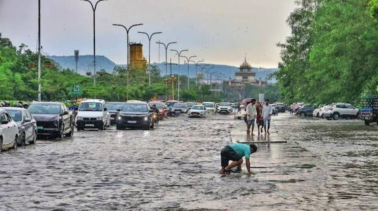
The weather has taken a turn due to two big weather systems being active simultaneously in the northern and southern parts of the country. According to the latest bulletin of the Indian Meteorological Department (IMD), an active Western Disturbance is affecting the hilly states of North India, causing snowfall in Jammu and Kashmir and increasing cold in the plains. On the other hand, due to the effect of Cyclonic Circulation of upper air formed over the South Andaman Sea, there is a strong possibility of formation of a new Low-Pressure Area in the South-East Bay of Bengal around November 13. According to meteorologists, this system may move in the north-west direction and turn into a ‘well-marked low pressure’ on November 14 and ‘Depression’ by November 15, due to which heavy rains and strong winds will continue in South India and the island groups for the next few days.
Due to the effect of Western Disturbance, the weather is going to be very bad in the Western Himalayan region on 12th and 13th November. The Meteorological Department has issued a warning of moderate to heavy snowfall in the higher reaches of Kashmir Valley today i.e. Thursday, November 12:
-
Affected districts: Heavy snowfall is expected in the higher reaches of Kupwara, Bandipora and Ganderbal from the afternoon of November 12 to the evening of November 13, while Poonch and adjoining areas may receive moderate to heavy rain.
-
Drop in temperature: Due to snowfall and rain, a big drop of 6 to 8 degrees Celsius can be recorded in the day temperature.
-
Advisory for travelers and farmers: The weather center has expressed the possibility of traffic disruption due to accumulation of snow on mountain passes and high altitude routes. Tourists and drivers have been advised to follow traffic advisories, while farmers have been asked to keep harvested crops at safe places.
The Meteorological Department has issued alerts of rain and thunderstorm on different dates for many states from North to South and North-Eastern India:
| State/Territory Name | Weather Alerts and Potential Activity | Affected period (November 2026) |
| Jammu-Kashmir and Ladakh | Widespread rain and heavy snowfall in highland areas; Thunderstorm and hailstorm possible at some places. | 12 – 13 November |
| Himachal Pradesh and Uttarakhand | Light to moderate rain with snowfall in higher reaches and thundershowers in lower reaches. | 12 – 14 November |
| Punjab | Due to the impact of western disturbance, there is a possibility of light rain and cold winds at some places. | 12 – 13 November (occasional till 16th) |
| Andaman and Nicobar Islands | Heavy to very heavy rainfall at most places; Strong sea winds at speeds of 40–60 km/h. | 11 – 17 November |
| Tamil Nadu, Puducherry and Kerala | Heavy rain with thunderstorm over coastal and northern districts (Chennai, Tiruvallur, Cauvery Delta, Nilgiris). | 12 – 16 November |
| West Bengal (Gangetic Region) | Chance of light to moderate rain at isolated places. | 12 November |
(Warning for fishermen: Strong winds with a speed of 45 to 65 km per hour will prevail over south-eastern, south-western and central parts of the Bay of Bengal and Andaman Sea between November 13 and 17, hence fishermen have been strictly advised not to venture into the deep sea.)
There is no possibility of rain for the residents of the national capital Delhi and NCR (Noida, Ghaziabad, Gurugram, Faridabad) at present, but there will be an increase in the coolness of the morning and night:
-
Sky and fog: According to IMD forecast, there will be partly cloudy sky in Delhi between November 12 and 14. In the morning, most of the areas will be covered with Mist/Shallow Fog.
-
Temperature levels: The maximum temperature in Delhi today is expected to be between 27°C to 29°C and the minimum temperature is expected to be around 15°C to 17°C. After snowfall in the mountains, cold winds blowing from the north-western direction at a speed of 15 km per hour in the afternoon will bring further decline in the temperature.
-
Slight improvement in air quality (AQI): Due to increase in surface wind speed, Delhi’s air quality has registered a slight improvement and the average AQI has slipped from ‘Very Poor’ category to ‘Poor’ (below 300) category. However, in view of the fog and smog in the morning, the elderly and respiratory patients have been advised to exercise caution.