 look news india

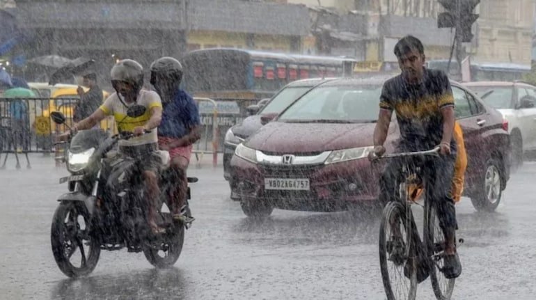
Cyclonic storm ‘Arnab’, which developed rapidly in the Bay of Bengal, has now started directly affecting the weather cycle of Central and Northern India. According to the latest forecast of the Indian Meteorological Department (IMD), this cyclonic system is turning in the north-west direction while moving towards the coasts of Andhra Pradesh and Odisha, due to which a large amount of moist air is being pulled towards the plains states. Its effect will be visible in the atmosphere of Eastern India and Uttar Pradesh from the evening of 27th October. According to state weather experts, the collision of monsoon-like moist easterly winds coming from the Bay of Bengal and the western disturbance active in North India is going to bring a severe period of unseasonal rain, lightning and stormy winds in the state.
The weather center Lucknow has declared orange and yellow alert for several districts of central Uttar Pradesh along with eastern and Terai areas during October 28 to 30. The maximum impact of the advance clouds of the cyclone will be seen in the districts of Purvanchal like Varanasi, Prayagraj, Ghazipur, Jaunpur, Mirzapur, Sonbhadra, Chandauli, Azamgarh, Gorakhpur, Deoria, Kushinagar, Basti and Sant Kabirnagar. Apart from this, a warning of moderate to heavy rain with thunderstorms along with movement of dense clouds has also been issued in the areas of the capital Lucknow, Barabanki, Ayodhya, Rae Bareli, Sultanpur, Pratapgarh and Gonda-Bahraich. During this period, there is a strong possibility of strong gusty winds of 35 to 50 kilometers per hour and lightning at some places.
In the last week of October, there is usually bright sunshine during the day and mild shivering at night, but due to the effect of cyclone ‘Arnab’, the maximum day temperature is expected to drop by 5 to 8 degrees Celsius in entire Uttar Pradesh. Due to continuous presence of clouds and heavy rain, the day temperature can drop from 31-33 degrees Celsius to 23 to 25 degrees Celsius. On the contrary, the night minimum temperature may remain slightly above normal due to dense clouds and moisture, but soon after the rain activity subsides and the sky clears on October 30, north-westerly dry cold winds will enter rapidly. This will officially mark the premature onset of severe pink cold and nighttime chill across the state just before Diwali.
This unseasonal stormy rain at the end of October can be a cause of serious concern for farmers. At present, harvesting and threshing of paddy, the main Kharif crop, is at its peak in most parts of the state, while sowing of Rabi crops like potato, mustard and pulses has started in many areas. Agricultural scientists have given clear advice to the farmers to immediately remove the harvested paddy crop from the open fields and keep it under a safe shed or tarpaulin and improve the drainage system in the fields. Do not allow water to accumulate in vegetable crops and pulses standing in the fields. At the same time, the district administrations have appealed to the general public not to take shelter under tall trees, weak walls, tin sheds and electric poles during strong storm, rain and lightning and avoid non-essential travels.