 look news india

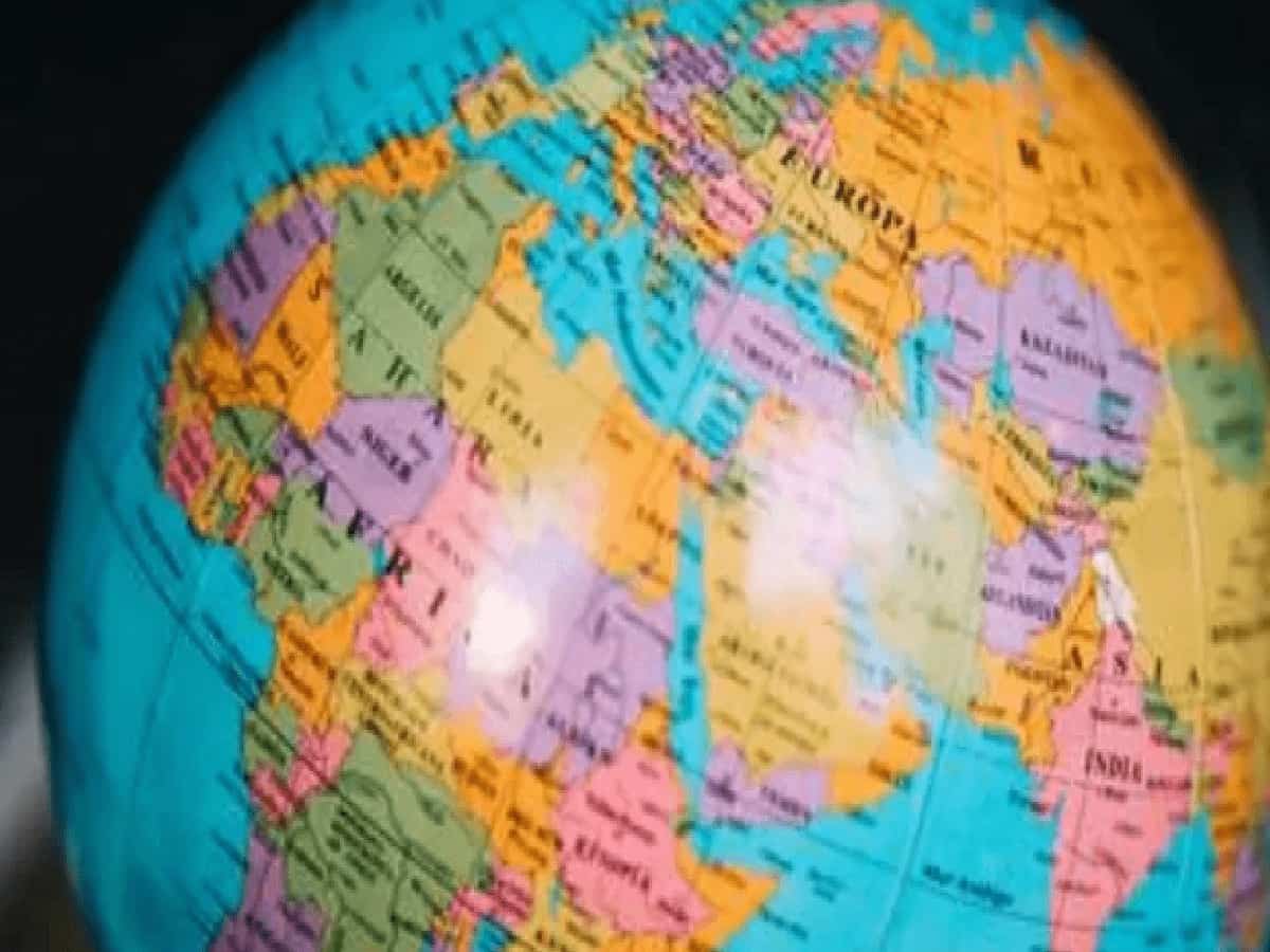
The United Nations General Assembly has passed with an overwhelming majority the much-awaited ‘Correct the Map’ resolution to show global maps closer and more accurately to the actual area of continents and countries. This step is being considered extremely revolutionary in the field of international politics, diplomacy and geography as it is the largest and most effective global effort towards removing the geographical discrepancies and traditional confusion of maps that have been going on for centuries. A total of 164 countries of the world voted in favor of this important proposal, officially presented by Togo and with the full support of the African Union, which is a clear proof that the global community now wants equality and accuracy in maps. Only the United States was seen standing in opposition to this resolution, while some countries like Estonia, Georgia, Lithuania, Moldova, Serbia and Ukraine, sensing the sensitivity and diplomatic gains and losses, completely abstained from the vote. India openly welcomed this proposal and by casting its clear vote in its favor proved that it has always been a strong supporter of geographical justice and equality on the global stage. Although technically this proposal is not legally binding on any member state, its moral and practical implications will be far-reaching. Now various national governments, international agencies, educational institutions, media houses, digital map platforms and official publications will be able to promote and freely use equal-area scientific and realistic maps in place of the existing traditional Mercator projection in schools, books and digital maps. Broadly speaking, the map of India will now look much larger and more realistic in the new digital and physical map of the world, while the true size of Africa and dozens of other developing and southern hemisphere countries of the world will be visible correctly on a global scale for the first time.
The story of the centuries-old faulty Mercator map and its historical implications is a fascinating and deeply political one.
It is very important to understand why this proposal was brought to the world stage and what were the main historical reasons behind it. In fact, the traditional Mercator map that has been around for centuries had never presented a true and real picture of the world. This method of map making was invented in the sixteenth century mainly for shipping and maritime navigation, so that sailors could easily navigate on straight paths at sea. But the biggest technical and practical weakness of this method was that it made the areas near the Earth’s poles appear much larger and the tropical continents near the equator much smaller than their actual capacity. The biggest and shocking result of this was that the giant African continent, which, despite being about fourteen times larger in size than Greenland, appeared smaller or almost equal to Greenland in traditional maps. Similarly, America and many other Western and European countries appeared on the map as huge and powerful blocks many times larger than their actual area, while the size of important landmasses like Africa, South Asia and Latin America were presented as very small, compressed and shrunken. In this resolution, it has been clearly stated from the platform of the United Nations that this old distortion of maps creates a very unbalanced, Western-centric and misleading image of the world, the correction of which has become the biggest and essential demand of today’s modern and just times. Although this change is not going to increase the actual geographical area of any country by even an inch, the biggest and positive difference will be that on these new scientific maps of equal area, India and all of South Asia will appear in more realistic and equitable proportions than Europe and North America.
What will be the far-reaching and deep implications of this major change on global diplomacy, education system and digital platforms?
The geographical weight and importance of the country will no longer seem small or neglected in school classes, educational curriculum and news, rather the new generation will be able to learn geography in an accurate perspective. India has made its position completely clear on this entire incident and has reiterated that it always strongly supports such maps and scientific methods which keep the relative size of continents and countries accurate and realistic. Raghu Puri, First Secretary, Permanent Mission of India to the United Nations, while expressing his views on this subject, said in very clear words that maps are not just pieces of paper, but they decide from what perspective any society understands and assimilates geography, space and the real scale of the world. This is why India has wholeheartedly welcomed the basic intention and ideological objectives of this proposal. He further added that it should not be considered as the final endorsement of any particular cartographic method or geographical software, but rather it is the beginning of improvement in global cartography. How quickly new school books, government presentations, digital maps and Google Maps or other navigation apps adopt this change will now depend entirely on the will of the various member states and the relevant international institutions. This step taken towards geographical justice will completely change the way the coming generations view the world and will prove to be a milestone in giving every country its rightful and glorious place on the global map.