 look news india

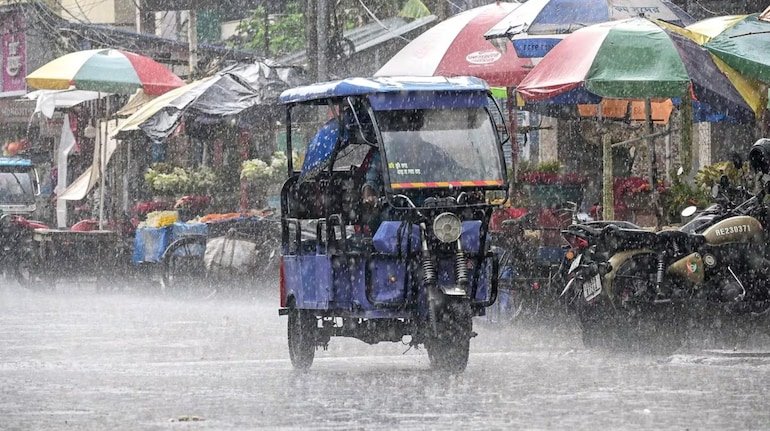
The active monsoon across the country has once again taken a severe form. The Indian Meteorological Department (IMD) has issued a major alert for torrential rains, lightning and strong thunderstorms in many parts of the country for August 23. There is every possibility of worsening weather in the states of North, Central and Eastern India due to the effect of the new weather system (Low-Pressure Area) and cyclonic circulation forming in the Bay of Bengal. According to the Meteorological Department, on August 23, there may be strong thunderstorms and heavy rainfall in more than 15 states from Uttar Pradesh to Odisha.
New weather system formed in Bay of Bengal, big impact on Central and Eastern India
According to meteorologists, a low pressure area is active near North Bay of Bengal and adjacent West Bengal-Bangladesh coasts. Along with this, pressure of cyclonic winds remains in the upper atmosphere of South-West Madhya Pradesh and Eastern Uttar Pradesh. Due to the combined effect of these weather systems, monsoon activities will intensify significantly over East India, Central India and plains in the next 24 to 48 hours.
Warning of very heavy rain and thunderstorm in UP, Bihar and Odisha
-
Uttar Pradesh: An alert has been issued for torrential rain and lightning along with thunder and lightning in many districts of Eastern UP (Varanasi, Gorakhpur, Prayagraj, Jaunpur, Deoria). There will be movement of clouds with moderate to heavy rain in the capital Lucknow and surrounding areas.
-
Odisha and West Bengal: The maximum impact from the Bay of Bengal system will be seen in Odisha and coastal West Bengal. Winds with speed of 60-70 km/hr and extremely heavy rainfall are likely in many coastal and interior districts. Fishermen have been advised not to venture into the sea.
-
Bihar and Jharkhand: Stormy rain with thunderstorms is expected in many districts including Patna, Gaya, Bhagalpur of Bihar and Ranchi, Dhanbad of Jharkhand.
Showers with strong winds in Delhi-NCR, Punjab and Rajasthan
The capital Delhi and adjoining NCR (Noida, Ghaziabad, Gurugram) will remain cloudy throughout the day and in some areas there may be heavy rain showers with winds at the speed of 30 to 40 km/hour. Whereas in Punjab, Haryana and eastern districts of Rajasthan (Jaipur, Bharatpur, Dausa, Kota), there are chances of heavy rain with strong gusts of 50 to 60 km/hour.
Danger of landslides in hilly states, advisory for tourists
There has been a warning of landslides and sudden rise in the water level of rivers (flash floods) due to heavy rains in the hilly areas of Uttarakhand and Himachal Pradesh. In sensitive areas around Dehradun, Nainital, Chamoli, Shimla and Manali, the local administration has advised people and tourists to remain alert and avoid unnecessary travel.
Major safety tips issued by Meteorological Department
-
Avoid standing under old trees, hoardings and weak buildings during bad weather and storms.
-
Farmers should not stay in open fields or near electric poles in areas prone to lightning.
-
Before traveling on waterlogged roads, please check the latest advisory of the traffic and meteorological department.