 look news india

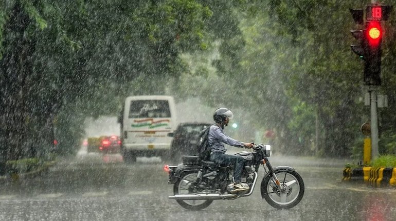
The Indian Meteorological Department (IMD) has issued a severe weather alert for the eastern and central states of the country today, September 17. Due to the influence of the active low-pressure area and monsoon trough in the Bay of Bengal and adjacent coastal areas, the weather is likely to deteriorate rapidly in Bihar, West Bengal, Odisha, Jharkhand and northeastern states.
According to the Meteorological Department, in these areas, there can be strong thunder and lightning as well as stormy winds at a speed of 40 to 50 kilometers per hour. Due to torrential rains in many districts, there has been a warning of waterlogging in low-lying areas, disruption in local traffic and rise in the water level of rivers.
-
Bihar: The Meteorological Department has asked to take special precautions in the districts of North and East Bihar. There is a possibility of heavy to very heavy rainfall in Kishanganj, Araria, Purnia, Katihar, Supaul and Bhagalpur. Along with this, light to moderate rain and strong winds along with thunderstorms are expected in Patna, Gaya and Muzaffarpur.
-
West Bengal (Gangetic Coastal and Sub-Himalayan Region): Kolkata, Howrah, Hooghly, North and South 24 Parganas, East Medinipur and Nadia are expected to remain cloudy since morning with moderate to heavy rain continuing. At the same time, there is a danger of landslides due to torrential rains in Darjeeling, Kalimpong, Jalpaiguri and Alipurduar of North Bengal. Due to strong gusts up to 50 km per hour in coastal areas, high waves may arise in the sea.
-
Odisha: Yellow to orange alert has been issued for heavy rain and thunderstorm in Mayurbhanj, Keonjhar, Balasore and Bhadrak districts of northern and coastal Odisha. Fishermen have been strictly advised not to venture into the sea.
-
Jharkhand: There is a strong possibility of lightning (thunderstorm) in Santal Pargana region including Ranchi, Jamshedpur, Dhanbad and Deoghar. An advisory has been issued to stay away from open fields and tall trees.
-
Assam and Meghalaya: In Assam, Meghalaya, Arunachal Pradesh and Nagaland of North-East India, intermittent heavy to very heavy rainfall may continue for the next 48 hours.
| State/Territory | Major Weather Alert | estimated wind speed | alert level |
| west bengal | torrential rain, coastal storm | 40-50 kmph | orange alert |
| Bihar | Heavy rain, thunder and lightning | 35 – 45 kmph | Yellow/Orange Alert |
| Odisha | Heavy rain, high waves in the sea | 45 – 50 kmph | yellow alert |
| Jharkhand | Moderate to heavy rain with thunderstorms | 30 – 40 kmph | yellow alert |
While Monsoon activity is at its peak in East India, Delhi-NCR, Western Uttar Pradesh, Punjab and Haryana are expected to have partly cloudy skies and humid heat. Due to local moisture, sporadic drizzle or light showers may occur in some areas, but the chances of any major weather reversal are less.
The Meteorological Department has issued important guidelines for citizens in view of the forecast of heavy rain and storm:
-
Protection from lightning: Never take shelter in open fields, tin sheds or under big trees during rain or thunder. Live in permanent houses and unplug electronic devices.
-
Warning to fishermen: Sea conditions are likely to be extremely rough in the north-west part of the Bay of Bengal, hence fishermen have been instructed to avoid venturing into the sea.
-
Traffic Caution: Visibility may be reduced during heavy rains, so drive slowly and avoid passing through waterlogged underpasses.