 look news india

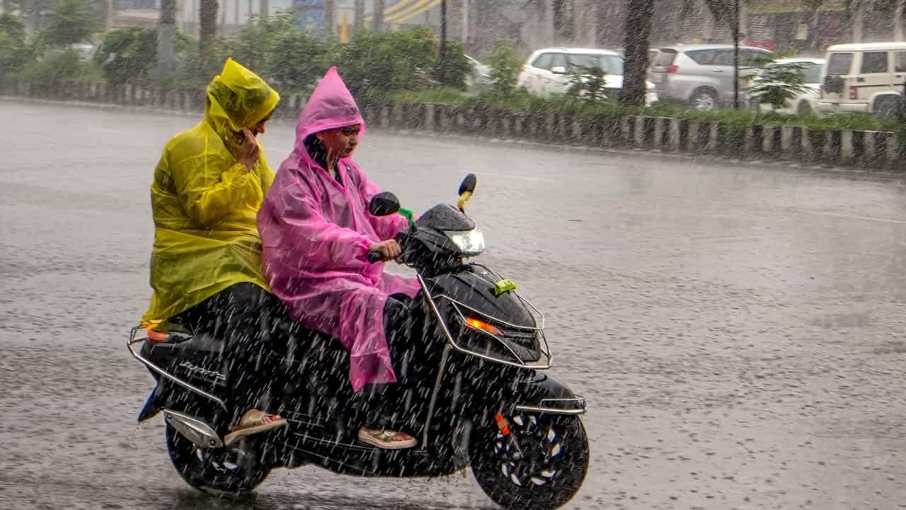
In North India and Eastern states, during the departure of monsoon, dual mood of weather is being seen. On one hand, the monsoon winds have weakened in the national capital Delhi and the surrounding plains and the chances of rain till September 26 are almost negligible, on the other hand, due to the active weather system in Eastern and Central India, there has been a strong return of clouds. According to the Indian Meteorological Department (IMD), there are chances of heavy rains with thunderstorms in Uttar Pradesh, Bihar, Jharkhand, West Bengal and Odisha for the next few days. Meanwhile, there is a cloud cover in the hilly areas of Himachal Pradesh and Uttarakhand, due to which morning and night temperatures are being recorded.
Southwest monsoon activities have almost calmed down in the national capital Delhi, Noida, Ghaziabad, Gurugram and Faridabad. According to meteorologists, there is no special possibility of rain in Delhi-NCR this entire week i.e. till 26th September.
During this period, due to strong sunlight during the day, the maximum temperature can remain between 34 to 36 degrees Celsius, while the minimum temperature will be recorded around 24 to 26 degrees Celsius. Surface dry winds are expected to blow at a speed of 25 to 35 kilometers per hour during the day, due to which the humidity and sticky heat in the afternoon can trouble people. However, the weather will remain normal due to mild temperature in the morning and late evening.
Unlike Delhi, the cloud cover remains strong in the neighboring states of Uttar Pradesh and Bihar. Due to the influence of moist winds coming from the Bay of Bengal, moderate to heavy rain with thunder and lightning has been predicted in the districts of eastern Uttar Pradesh – Varanasi, Gorakhpur, Prayagraj, Ghazipur, Jaunpur and Ballia. There is a possibility of light to moderate rain in Lucknow, Kanpur, Bareilly and Agra in Western and Central UP.
The weather pattern has completely changed in Bihar also. ‘Yellow alert’ has been issued for heavy rain with strong thunderstorm and lightning (lightning) in many districts of the state including the capital Patna, Gaya, Muzaffarpur, Bhagalpur, Purnia and Katihar. The Meteorological Department has strongly advised farmers and common citizens in rural areas not to stay in open fields or under trees during bad weather.
The impact of cyclonic circulation and low pressure areas is being seen most in the coastal and plain states of Eastern India. The coastal districts of Odisha—Puri, Bhubaneswar, Cuttack, Balasore and Ganjam—have been warned of torrential rain with gale force winds reaching speeds of 50 to 65 km per hour. In view of the danger of high waves in the sea, fishermen have been instructed not to go into deep water.
Intermittent heavy rains will continue in Ranchi, Jamshedpur, Dhanbad and Bokaro of Jharkhand also. There is a possibility of waterlogging and normal life being affected due to continuous rain in Kolkata, Howrah, South 24 Parganas of West Bengal and Siliguri and Darjeeling of North Bengal.
The weather is changing rapidly in the hilly states and cold has started making its presence felt before time:
-
Himachal Pradesh: Light rain and cold winds are occurring in the high altitude areas of Manali, Shimla, Kullu, Lahaul-Spiti and Kinnaur due to western disturbance. The minimum temperature in Manali has dropped rapidly to single digit, due to which one can feel the bone-chilling cold in the morning and evening. The local administration has issued instructions not to go near rivers and streams and to remain alert in view of the danger of landslides on sensitive mountain roads.
-
Uttarakhand: There is a possibility of light to moderate rain with thunderstorm in Dehradun, Nainital, Chamoli, Uttarkashi and Pithoragarh districts. Devotees traveling on Chardham Yatra routes have been advised to proceed only after seeing the latest weather updates, because sometimes the routes are temporarily blocked due to slipping of rocks.