 look news india

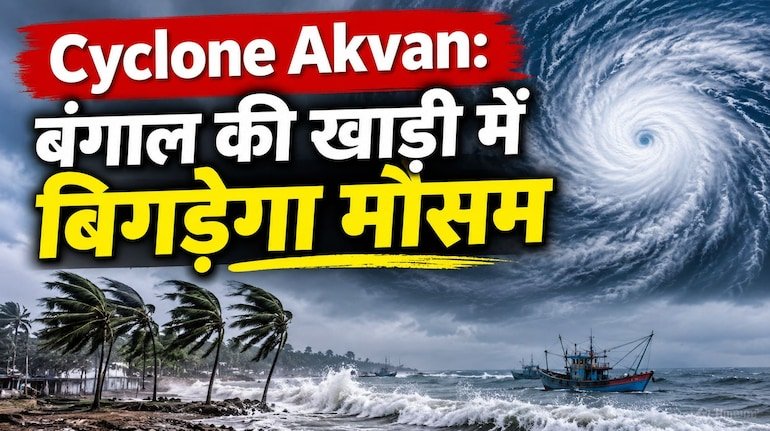
Two different weather systems will have a major impact on the country’s weather on Thursday, November 19, 2026. On one hand, the severe cyclonic storm ‘Akwan’ formed in the south-west and west-central Bay of Bengal is ready to become stronger tomorrow and wreak havoc in the coastal states of South and East India with stormy winds and torrential rains, while on the other hand, with the increase in cold in the plains of North India, the blanket of dense fog has started deepening. According to the latest national bulletin issued by the India Meteorological Department (IMD), there is a strong possibility of heavy to very heavy rainfall in many states including Andhra Pradesh, Odisha, West Bengal, Tamil Nadu and Telangana tomorrow on November 19, while in New Delhi, Uttar Pradesh, Bihar, Punjab and Haryana, traffic may be affected due to very low visibility in the morning.
According to scientists of the Meteorological Department, the severe cyclonic storm ‘Akwan’ active over the Bay of Bengal is continuously moving towards the north-west and north-north-east. It is expected to further intensify into a Very Severe Cyclonic Storm on Thursday, November 19. During this period, the speed of winds within the sea can reach 115 to 130 kilometers per hour, while the speed of gusts is expected to be 140 to 145 kilometers per hour. The Meteorological Department has said that this system will make landfall between the coasts of Andhra Pradesh (Machilipatnam and Visakhapatnam/Narasapur area) and South Odisha on the afternoon of 20 November 2026. In view of the warning of high waves of 9 to 14 meters in the sea, fishermen have been strictly instructed not to venture into the south-west, west-central and north-west Bay of Bengal till November 20.
As Cyclone ‘Akwan’ approaches the coast, rains will intensify over the coastal and eastern states tomorrow, November 19. IMD has issued red and orange alert in view of extremely heavy rainfall in Kendrapara, Jagatsinghpur, Puri, Ganjam, Gajapati and Kandhamal districts of Odisha. Coastal districts of Andhra Pradesh – Konaseema, Kakinada, East Godavari, West Godavari, Krishna, NTR and Guntur – have also been warned of heavy to very heavy rainfall accompanied by strong thunderstorm tomorrow. Apart from this, due to the effect of changing direction of the cyclone, heavy rains and strong winds along with thunderstorms are expected in East Medinipur, West Medinipur, South 24 Parganas, Howrah, Jhargram and Bankura districts of West Bengal from tomorrow itself. Light to moderate rain will also be seen in parts of North Tamil Nadu, Puducherry, Rayalaseema, Telangana, South Chhattisgarh and Jharkhand tomorrow.
Talking about the weather of North India, the sky will be mainly clear tomorrow on 19th November in the national capital New Delhi, Noida, Ghaziabad, Gurugram and Faridabad, but moderate to dense fog is expected in the morning and late night. The maximum temperature in Delhi tomorrow may be around 25 to 26 degrees Celsius and the minimum temperature may be around 11 to 12 degrees Celsius. The weather will remain dry in Uttar Pradesh tomorrow, but there is an alert of dense fog and cold winds in the morning in the Terai and plains districts including the capital Lucknow, Kanpur, Meerut, Muzaffarnagar, Bareilly, Gorakhpur, Varanasi and Prayagraj. The minimum temperature in most of the districts of Uttar Pradesh will remain between 9.5 degrees to 13 degrees Celsius, while due to the impact of cyclone ‘Akwan’, Purvanchal will see clouds and rain on the weekend on 21 and 22 November.
Most of the districts of Bihar, including Patna, Gaya, Bhagalpur, Muzaffarpur and Purnia, will be affected by light to moderate fog and mist tomorrow morning, however, due to moisture from the cyclone, there are chances of cloud cover and drizzle in the districts of South and East Bihar from November 20. There is a possibility of partly cloudy sky in eastern and southern parts of Rajasthan and Madhya Pradesh, while cold wave and morning fog will increase in western Rajasthan and Punjab-Haryana. On the other hand, the high altitude areas of Jammu-Kashmir, Himachal Pradesh and Uttarakhand are experiencing severe cold due to the night temperature reaching below zero. The Meteorological Department has advised drivers to drive slowly in the morning in foggy states and citizens of coastal states to follow government advisories.