 look news india

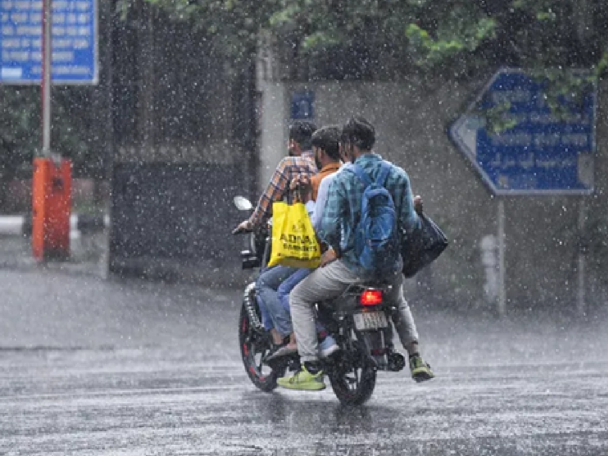
The South-West Monsoon has reached its peak in the entire country including North India, which on one hand has brought great relief to the people suffering from the scorching heat, while on the other hand the danger of natural disaster has also increased rapidly. The Indian Meteorological Department (IMD), while issuing a very sensitive and comprehensive weather bulletin on the morning of Saturday, July 11, 2026, has issued orange and red alerts of torrential rains and severe thunderstorms in a total of 20 states including the national capital Delhi, Uttar Pradesh, Bihar and Jharkhand. According to meteorologists, there is a serious possibility of strong gusty winds at a destructive speed of 70 to 80 kilometers per hour and widespread lightning strikes in these affected areas during the next 24 to 48 hours.
Highest possibility of devastation in North and Eastern India: Big danger of landslides in hilly states
According to the latest satellite data released by weather experts, the Monsoon Trough is currently in a very active state, whose most lethal effect will be seen in the plains and hilly areas of North and East India. Due to continuous torrential rains in Himalayan states like Uttarakhand, Himachal Pradesh and Jammu and Kashmir, the risk of landslides and flash floods has increased manifold. The Meteorological Department has given strict instructions to tourists and local residents to stay away from rivers and streams. Apart from this, in view of the high waves rising in the sea, a special advisory has been issued to fishermen to stay away from coastal areas and to farmers not to work in the fields under the open sky.
Weather update of Delhi-NCR and Uttar Pradesh: Mercury will fall, cloud movement will continue
For the residents of the country’s capital Delhi and entire Uttar Pradesh (UP), the Meteorological Department has predicted that there will be a cloud of dense dark clouds in the sky for the next few days. Heavy rains with intermittent strong winds will continue in various districts of Delhi-NCR and western to eastern UP. Due to this active monsoon system, the maximum temperature in North India will remain well below 40 degrees Celsius, which will provide great relief from the humid heat. However, the Meteorological Department has also predicted heavy rains along with large-scale hailstorm in some isolated areas of Eastern India.
Heavy rain alert issued in these 20 states of the country: See complete list
The 20 states which the Meteorological Center has asked to exercise special vigilance for the next 24 hours include Uttar Pradesh, Bihar, Delhi-NCR, Rajasthan, Haryana, Uttarakhand, Himachal Pradesh, Punjab, Jammu and Kashmir, Jharkhand, Odisha, West Bengal, Sikkim, Madhya Pradesh, Chhattisgarh, Assam, Tripura, Kerala, Karnataka and Andhra Pradesh. Extremely heavy rainfall may be recorded in some specific districts of these states.
Possible weather forecast for the next 24 hours: Light to moderate and torrential rain expected
As per the probable weather activity, within the next 24 hours there will be light to moderate rain at isolated places over Himachal Pradesh, Uttarakhand, East Uttar Pradesh, Chhattisgarh, interior Odisha, West Bengal, Bihar, Jharkhand, Sikkim, Assam, Arunachal Pradesh, Coastal Karnataka and Kerala. Along with this, there is every possibility of monsoon showers along with thunder in parts of Konkan and Goa, Jammu and Kashmir and North-Eastern Madhya Pradesh, Northern Tamil Nadu, Vidarbha and Central Maharashtra.