 look news india

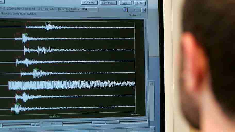
In the neighboring country of Pakistan, once again an intense underground movement left the local population in panic. Strong earthquake tremors were recorded in Dalbandin and its surrounding areas, a major border town in Chagai district of Balochistan province. According to seismological data, the epicenter of this earthquake was located at a depth of about 35 kilometers from the ground.
As soon as the tremor was felt, people ran from their homes, shops and offices towards open fields. Due to its location near the Afghanistan border, the impact of this shock was also felt in the border towns. It is a matter of relief that due to the moderate depth, no immediate loss of life or property was reported on a large scale, but this has once again raised the serious question as to why Pakistan’s soil is so unstable and why earthquakes occur here again and again.
Geological structure: Pakistan is situated at the mouth of three huge tectonic plates.
The main reason for Pakistan’s frequent trembling is not a mystery, but the complex geological structure present beneath it. The upper layer of the earth i.e. the crust is divided into many large and small tectonic plates. Pakistan is one of those select and sensitive geographical regions of the world that lie directly at the intersection of three major plates—the Indian Plate, the Eurasian Plate and the Arabian Plate.
According to geologists, the Indian Plate is continuously moving towards the north and is putting continuous pressure on the Eurasian Plate. This movement is happening at the rate of about 4 to 5 centimeters per year. When two giant continental plates collide, enormous friction and energy is stored between the rocks. When this accumulated pressure exceeds the tolerance of the rocks, energy suddenly comes out along the fault lines in the form of seismic waves, which we call earthquake. The northern and western parts of Pakistan lie directly above this conflict zone.
Chaman Fault and Makran Subduction Zone: underground gunpowder dumps
To understand the seismic hazard of Pakistan, it is important to know two major geological structures. The first is ‘Chaman Fault Line’ and the second is ‘Makran Subduction Zone’.
The Chaman Fault is a highly active strike-slip fault system approximately 860 kilometers long, which runs through Balochistan and into Afghanistan. This fault line separates the western edge of the Indian Plate and the Eurasian Plate. Here both the plates try to slide parallel to each other, creating fierce friction. Areas like Dalbandin, Quetta and Kalat come very close to this fault system.
On the other hand, the Makran Subduction Zone is present beneath the coastal part of southern Balochistan and Sindh. Here the Arabian Plate is slowly sinking beneath the Eurasian Plate. The region is not only the epicenter of intense earthquakes but also has the potential to generate tsunamis in the Arabian Sea. This is the reason why Balochistan province is counted among the most seismic-active zones of Pakistan.
Science of 35 kilometer depth: What is the difference between shallow and deep earthquakes?
The hypocenter or focus of the Dalbandin earthquake was measured 35 kilometers underground. In seismology, earthquakes occurring at a depth of 0 to 70 kilometers are classified as ‘shallow’ earthquakes.
Shallow earthquakes generally prove to be more destructive at the surface because the energy waves have to travel less distance to reach the surface, thus reducing their intensity. However, a depth of 35 km is considered slightly safer than very shallow (less than 10 km) earthquakes, due to which the shock spreads over a large area but the destruction just above the epicenter remains relatively controlled.
From the pages of history: Horrible timeline of devastating earthquakes in Pakistan
The history of Pakistan is witness to the fact that geological movements have repeatedly caused huge human and economic devastation:
-
Quetta earthquake of 1935: This earthquake of 7.7 magnitude that occurred on 31 May 1935 had completely reduced the city of Quetta to rubble. Between 30,000 and 60,000 people died in this disaster, which is one of the worst earthquakes in the history of South Asia.
-
Makran tsunami earthquake of 1945: The 8.1 magnitude marine earthquake triggered a massive tsunami in the coastal areas of Balochistan and Karachi, killing more than 4,000 people.
-
Kashmir and northern Pakistan earthquake of 2005: An earthquake of 7.6 magnitude that occurred on October 8, 2005 devastated Muzaffarabad, Khyber Pakhtunkhwa and large parts of Kashmir. More than 80,000 people died in this flood and lakhs of people were rendered homeless.
-
Ziarat earthquake of 2008: The 6.4 magnitude earthquake that hit Ziarat and Pishin districts of Balochistan leveled several villages and killed hundreds of people.
-
Awaran (Baluchistan) earthquake of 2013: More than 800 people were killed in this massive earthquake of 7.7 magnitude and the strength of this inundation was so much that a new mud island emerged from the sea near the Gwadar coast.
Poor construction and lack of disaster management: Human factors doubling the danger
It is not possible to prevent earthquakes naturally, but the scale of damage can be reduced with strong infrastructure and planning. In Pakistan, even frequent moderate earthquakes become serious crises because construction standards are extremely poor in most parts of the country, especially rural and semi-urban Balochistan.
Houses made of raw soil, mortar and without anti-seismic technology collapse even in minor earthquakes. Additionally, there is a severe lack of modern seismic monitoring networks and disaster rapid response teams at the local level. Limited emergency medical and communication facilities in remote areas like Dalbandin make relief operations extremely challenging during any major disaster.
Is this vibration a sign of a big earthquake in the future?
The ground shaking at Dalbandin confirms that the fault lines beneath the area are continuously active and releasing stress. According to geology, the occurrence of small and medium earthquakes is a sign that energy is accumulating at the boundaries of the plates.
Scientists believe that there has been a ‘seismic gap’ in the tectonic plates of South and Central Asia for a long time, that is, there has been no major earthquake for a long time in some areas where the stress is continuously increasing. In such a situation, incidents like Dalbandin are a serious warning that Pakistan has to give top priority to its pre-disaster preparedness, strict enforcement of building codes and public awareness campaigns, so that huge loss of life and property can be avoided during any unexpected natural disaster.