 look news india

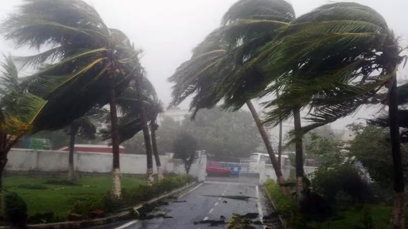
Amidst the weather system formed in the Bay of Bengal and changing atmospheric pressure, the India Meteorological Department (IMD) has issued an important weather warning in many parts of the country for 20 November 2026. According to the latest bulletin of the Meteorological Department, the severe cyclonic storm ‘Akwan’, active in the Bay of Bengal, is likely to move in the north-northwest direction and cross the coast around Narsapur and Puri between North Andhra Pradesh-Yanam and South Odisha coast on November 20, due to which strong winds and torrential rains may intensify in the coastal areas. While on one hand the impact of rain, thunder and strong winds will be seen in the eastern and coastal states, on the other hand in the plains of North India, dense fog and falling temperatures are being created in the morning and night.
According to the Meteorological Department’s assessment, heavy to very heavy rainfall is expected over many parts of coastal Andhra Pradesh and Odisha and extremely heavy rainfall at some places on November 20. Apart from this, heavy to very heavy rain has been predicted in Gangetic West Bengal on November 20. In the coastal areas and sea, high waves and storm winds are expected to reach speeds of around 90 to 100 kilometers per hour and may be even stronger with gusts. In view of the possibility of waterlogging, damage to unbuilt structures and crops and disruption of road-rail traffic in the low-lying coastal districts, the administration has been advised to remain alert and fishermen have been advised not to venture into the sea.
Due to the effect of moisture coming from the Bay of Bengal, the weather is going to be active in some states of Northeast and South India on November 20. According to IMD, heavy rain may occur at isolated places in Assam and Meghalaya during November 20 to 21, while there is a possibility of thunderstorm and lightning in Assam, Meghalaya and Nagaland, Manipur, Mizoram and Tripura. In South India, heavy rainfall and thundershowers are expected over Tamil Nadu, Puducherry and Karaikal and some areas of Kerala and Mahe. Chhattisgarh in central India has also been warned of thunder, lightning and strong winds at a speed of 40 to 50 kilometers per hour between November 20 and 21.
Talking about the states of North India, the effect of cold and fog in the morning and late night is gradually increasing in the third week of November. According to IMD’s forecast, there is a possibility of dense fog in different areas of Haryana, Chandigarh, Delhi and Punjab during November 19 to 22, which may reduce visibility in the morning and affect road and rail traffic. At present, light shivering is being felt in the morning and evening amid dry weather in Uttar Pradesh, while in eastern Uttar Pradesh around 21 to 22 November, light to scattered rain and thundershowers may occur. With changing weather patterns, the effect of fog and cold winds is being seen in the morning in Bihar and surrounding plains.
In view of the changing weather and possible warnings, local administration and agricultural experts have advised people to remain alert. Farmers in coastal and rain-affected areas have been appealed to protect harvested or standing crops, manage drainage and stay away from trees and weak structures during strong winds. At the same time, in foggy states, drivers have been advised to use fog lights and drive slowly. In the districts of Awadh and Central UP including Hardoi of Uttar Pradesh, the signs of change in weather are clearly visible in the coming days with the drop in night temperature and light fog in the morning. In such a situation, caution is necessary in terms of both health and travel.