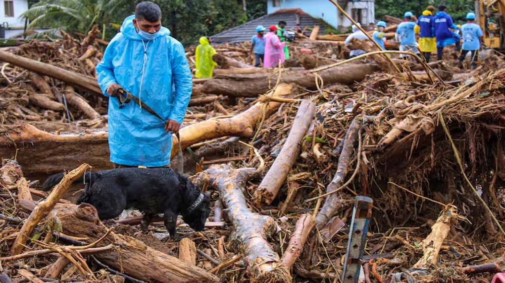
The rescue operation in the landslide in Wayanad, Kerala continued for the seventh day on Monday. So far 387 people have died in this incident. A large number of people are still missing. The situation is such that the bodies are being buried collectively.
The death toll due to the landslide in Wayanad, Kerala is continuously increasing. Till Monday, 387 people have been confirmed dead in this incident. At the same time, the rescue operation is still going on. Today is the seventh day of the rescue operation.
The situation is such that the bodies are being buried collectively. It is being told that the bodies are being cremated in Puthumala. The people who have not been identified are being cremated here. The administration itself is cremating them.
Meanwhile, Kerala government minister PA Mohammed Riyas said rescue teams have been deployed in areas where bodies are most likely to be found. He said the search operation will continue in the 40-km stretch of the Chaliyar river that flows through Wayanad, Malappuram and Kozhikode as several bodies have been recovered from there so far.
Blood samples of relatives were taken to identify missing persons
The Kerala government has taken steps to identify the missing people in the Wayanad landslide, under which it has started collecting blood samples of survivors and relatives for DNA testing. Details of ration cards, Aadhaar cards and linked phone numbers have also been started to be collected to identify the missing persons.
How did the accident happen in Wayanad?
The epicentre of the disaster in Wayanad is the Iruvazhinji river, which is at an altitude of about 1800 metres and flows through three affected villages – Mudakkai, Churamala and Attamala – in Vythari taluk. It then joins the Chaliyar river. The water level of the river rose after the rains and the flow of water became fast. Officials say Vythari received about 57 cm of rain in 48 hours, following which the Iruvazhinji overflowed and caused the landslide.
The landslide caused debris to fall into the river and form a wall of debris. The upstream villages were then inundated. Heavy rainwater flowing into the river from the upstream hills and slopes caused the tragedy. Remote sensing data shows that Mundakkai, the first village on the river's path, which is now flattened and destroyed, is located at an elevation of about 950 m. It is about 3 km from the centre.
 look news india
