 look news india

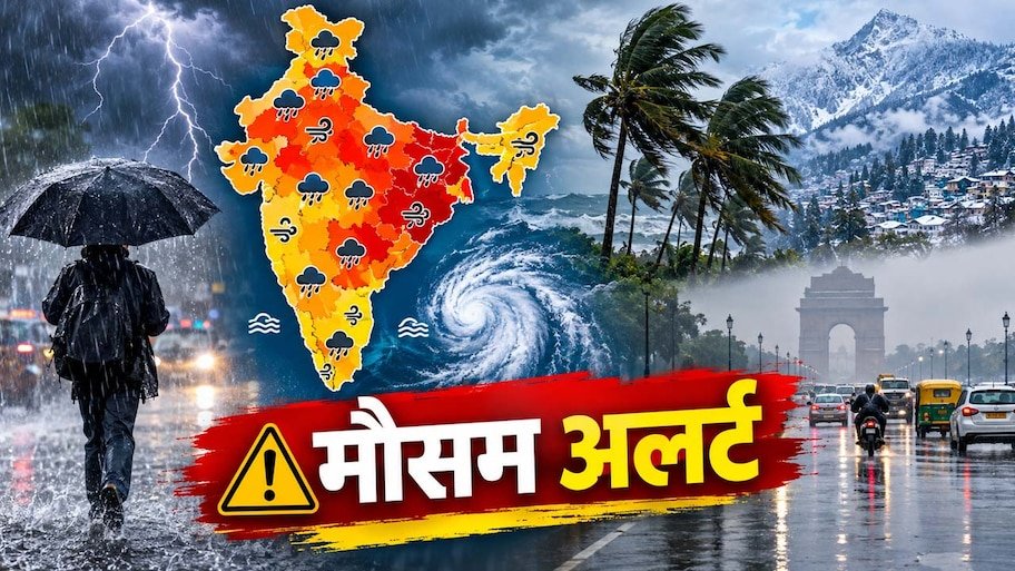
There is a sudden change in the weather patterns across the country. On one hand, the process of departure of south-west monsoon has started from many northern and western parts of the country, on the other hand, cold winter has arrived in the high hilly areas of North India before time. The minimum temperature in Manali, the world famous tourist destination of Himachal Pradesh, has fallen to 3 degrees Celsius, making the nights there very cold. On the other hand, due to the new weather system (depression) formed in the Bay of Bengal, the Indian Meteorological Department (IMD) has issued an alert of strong storm, thunderstorm and torrential rain in 13 states of the country.
In the higher reaches of the Himalayan states of North India, Himachal Pradesh, Uttarakhand and Jammu and Kashmir, night temperatures are falling drastically due to the influence of western disturbances and cold winds. The minimum temperature in Manali has dropped sharply to as low as 3 degrees Celsius, forcing locals and tourists to remove heavy woolens and heaters in the month of September itself. Strong winds are blowing with clouds in many areas of Shimla, Kullu, Srinagar, Dehradun and Nainital.
The Meteorological Department has warned of rain with strong thunderstorm in the hilly areas. Along with this, in view of the possibility of falling rocks and landslides on the sensitive roads at high altitude, the administration has strongly advised tourists and local residents to avoid unnecessary travel and not to go close to rivers and streams.
Amidst the falling mercury on the mountains, another form of monsoon is being seen in the eastern and central states of the country. Due to the activation of a deep depression over the Bay of Bengal, the weather in eastern India has become quite severe. According to the Meteorological Department, there is a possibility of strong storm winds at a speed of 65 to 80 kilometers per hour and heavy rains in Kolkata, Darjeeling of West Bengal and coastal areas including Puri, Bhubaneswar, Balasore of Odisha. In view of the high waves in the sea, fishermen have been warned not to venture into the sea.
Due to its effect, the weather has changed in Bihar and Jharkhand also. There are chances of winds blowing at a speed of 50 to 60 km per hour and heavy rain in Patna, Gaya, Bhagalpur, Muzaffarpur and Purnia of Bihar. Orange alert has been declared in Ranchi, Dhanbad, Bokaro of Jharkhand and Raipur and Bilaspur districts of Chhattisgarh due to heavy rain and lightning.
Talking about other parts of the country, light to moderate rain with thunderstorms and winds at a speed of 30 to 40 km per hour are expected in Bhopal, Indore, Damoh of Madhya Pradesh and Jaipur, Udaipur, Kota divisions of Rajasthan. Monsoon activities also remain active in the coastal states of South India like Karnataka, Kerala, Tamil Nadu and Andhra Pradesh, where intermittent heavy rains are being recorded.
On the contrary, the weather pattern in the country’s capital Delhi and NCR (Noida, Greater Noida, Ghaziabad and Gurugram) remains mixed. Due to strong sunlight, the effect of humid heat is being seen here. However, surface winds are likely to blow at a speed of 30 to 35 km per hour during the day. The maximum temperature in Delhi is expected to be around 35 degrees and the minimum temperature will be around 25 degrees Celsius. Meteorologists believe that the seasonal cycle will become more pronounced in the coming few days, due to which pink cold will start in the plains as well.