 look news india

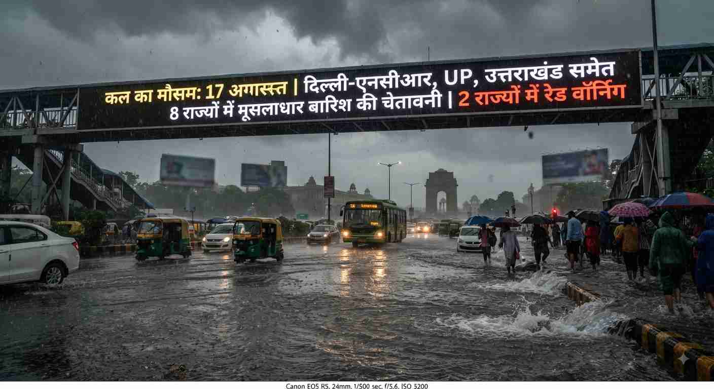
Monsoon activity has once again taken a severe form from North to East and Central India. According to the latest All India Weather Bulletin issued by the India Meteorological Department (IMD), a new powerful ‘Low-Pressure Area’ has formed over the northwest Bay of Bengal and adjoining coastal areas of West Bengal and North Odisha. This weather system is going to strengthen further and move towards north-west direction in the next 24 hours.
Along with this, the western end of the Monsoon Trough is located north of its normal position in the Himalayan foothills, while cyclonic circulation of upper air remains over south-eastern Uttar Pradesh and north-western Rajasthan. Due to the combination of all these weather factors, at least 8 major states of the country will see torrential rains on August 17, while ‘Red Warning’ of extremely heavy rains has been issued for 2 states of Eastern India. The Meteorological Department has also warned of stormy winds blowing at a speed of 80 to 85 kilometers per hour and lightning in many areas.
‘Red alert’ in Odisha and West Bengal: More than 200 mm of rain expected
The cyclonic system formed in the Bay of Bengal is going to have the most direct and devastating impact on Odisha and West Bengal. The Meteorological Department has issued a ‘red alert’ for coastal and interior districts of North Odisha and Gangetic West Bengal for August 17.
Key points under this red alert:
-
Extremely Heavy Rainfall: At some places, more than 204.4 mm rainfall may be recorded within 24 hours.
-
Stormy winds in coastal areas: Winds will blow at a speed of 45 to 55 km/h on the coast, which can turn into gusts of up to 65 km/h. Fishermen have been strictly advised not to venture into the deep sea till August 18.
-
Danger of urban waterlogging and floods: There is a strong possibility of submergence of low-lying areas, fields and unpaved roads. Disaster management teams have been put on alert mode in districts like Kolkata, Howrah, Midnapore, Balasore, Mayurbhanj and Bhadrak.
Clouds camp in Delhi-NCR: relief from humidity and heavy rains
There will be intermittent heavy rain and thundershowers throughout the day on Monday, August 17 in the national capital Delhi and adjacent NCR areas (Noida, Greater Noida, Ghaziabad, Gurugram and Faridabad).
Weather Profile of Delhi-NCR:
-
Drop in temperature: The maximum temperature in Delhi is expected to be around 34°C and the minimum temperature will be around 28°C. The presence of clouds and monsoon winds blowing at a speed of 30 to 40 km/hour will provide great relief from the humid heat.
-
Challenge of traffic and waterlogging: Some areas may experience intense spells of rain during morning peak hours and afternoon, leading to waterlogging at major intersections and underpasses. Delhi Traffic Police has advised drivers to exercise caution.
Alert of heavy rain and storm of 75 km/hour in more than 25 districts in Uttar Pradesh
Monsoon has become fully active in Uttar Pradesh. The Meteorological Department has issued detailed warnings for both parts of the state—Western UP and Eastern UP.
Major affected districts of UP:
-
Western UP: Heavy rain and strong winds with a speed of 70 to 75 km/hour are expected in Noida, Ghaziabad, Meerut, Muzaffarnagar, Aligarh, Agra, Mathura, Bijnor, Moradabad and Saharanpur.
-
Eastern and Central UP: ‘Yellow’ and ‘Orange’ alert of heavy rain along with loud thunder and lightning has been issued in the capital Lucknow, Kanpur, Bareilly, Hardoi, Sitapur, Shahjahanpur, Gonda, Basti, Bahraich, Lakhimpur Kheri, Pilibhit, Pratapgarh, Jaunpur, Fatehpur and Mirzapur-Sonbhadra.
-
temperature: The maximum temperature in Lucknow is likely to be around 29°C and the minimum temperature is likely to be around 27°C.
Trouble in the mountains: Warning of landslides and flash floods in Uttarakhand and Himachal.
The ongoing rains in the hilly states have badly affected life. The intensity of rain is expected to increase further in the western Himalayan region on August 17.
-
Orange alert in Uttarakhand: Meteorological Center Dehradun has issued ‘Orange Alert’ for Dehradun and Tehri districts and ‘Yellow Alert’ for Nainital, Champawat, Bageshwar, Pauri and Uttarkashi. Due to heavy to very heavy rainfall, there is a serious risk of landslides and boulder falls on sensitive mountain slopes. The State Disaster Management Department has instructed Chardham pilgrims to travel safely only after seeing the latest weather bulletin.
-
Himachal Pradesh: There is a possibility of light to moderate rain over most parts of the state and cloudburst-like intense spells at some places. In view of the rise in the water level of rivers and streams, the local administration has instructed people to stay away from the banks of Beas, Sutlej and Ravi rivers.
Bihar, Punjab, Haryana and Rajasthan: Know the weather of other states
Seasonal movements will also remain intense in other major plains and western states of the country:
-
Bihar: Warnings of thunder, lightning strikes and heavy rain have been issued in Gaya, Banka, Jamui, Katihar, Bhagalpur, Kaimur, Nalanda, Nawada, Aurangabad, Vaishali, Samastipur, Purnia, Araria and Kishanganj. The maximum temperature in Patna will be around 32°C.
-
Punjab and Haryana: There is an alert of strong thunderstorm and rain in Pathankot, Firozpur, Hoshiarpur, Sangrur, Amritsar, Jalandhar, Rupnagar and Fazilka of Punjab. In Haryana, there may be local intense rain in some areas with strong thunderstorm during the afternoon.
-
Gujarat and Western India: There is an alert of heavy rain and lightning in Dahod, Narmada, Tapi, Valsad, Navsari, Surat, Bharuch, Panchmahal and Vadodara in South and Central Gujarat.
-
Rajasthan: Light to moderate rain may occur over parts of eastern Rajasthan, while partly cloudy and sunny conditions are expected over western Rajasthan.
Important safety measures and advisories during bad weather
In view of the threat of torrential rains, strong winds and lightning, the Disaster Management Authority has issued safety guidelines for the general public:
-
Do not take shelter under trees and electric poles: During strong storms (up to 80 km/h) there is a risk of old trees breaking branches and hoardings falling; Therefore, stay in open fields or permanent houses only.
-
Do not stay in the open when there is lightning: If you are in a field or open area, immediately go inside a permanent building. Immediately move away from metal objects, iron grills and water sources.
-
Avoid unnecessary travel on hilly roads: Do not try to cross landslide affected areas and overflowing drains.
-
Advice for farmers: To deal with the situation of waterlogging in the fields, make arrangements for drainage of excess water and keep the harvested crops covered with safe tarpaulin.
This monsoon system, which is becoming active on August 17, will keep large areas of the country drenched for the next 3 to 4 days. Before leaving home, be sure to check the live advisory of your local weather department and traffic police.