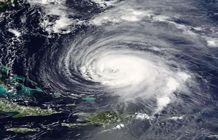
Cyclone warning: The India Meteorological Department (IMD) has predicted a cyclone threat in the next 24 hours due to a deep depression over the south-west Bay of Bengal. According to IMD, the risk of cyclone and tropical storm will be highest along the coast of Tamil Nadu in the last few days.
Cyclone will come due to deep pressure in Bay of Bengal
Currently situated in the south-west of the Bay of Bengal, this deep depression is moving towards north-northwest at a speed of 12 km per hour. It is currently located about 310 km south-east of Trincomalee, 590 km south-southeast of Nagapattinam, 710 km south-southeast of Puducherry and 800 km south-southeast of Chennai. The storm will move north-northwest and cross the Sri Lankan coast towards India.
Tamil Nadu cyclone warning
The IMD has predicted that strong winds may turn into a storm on November 27, prompting officials and residents to exercise adequate vigilance. Also, due to the storm, there may be heavy rains and strong winds on the coast of Tamil Nadu. Coastal communities are therefore advised to stay updated and follow safety instructions from local authorities.
The effect of strong winds will continue for the next 48 hours
Whether these strong winds develop into a cyclonic storm or not, Tamil Nadu, Puducherry, Karaikal and South Andhra Pradesh will continue to experience severe weather for the next 48 hours. Heavy rains can disrupt normal life and affect communications and connectivity. Therefore, it is important to implement all precautionary measures like moving people to safe places.
What effect will the cyclone have on Gujarat?
Due to low pressure in the Bay of Bengal, strong winds will blow from Tamil Nadu and Sri Lanka to the south i.e. eastwards in the Bay of Bengal. But there is no threat to Gujarat from this storm.
 look news india