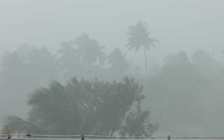
Cyclonic storm Dana, which arose from the Bay of Bengal, is moving towards Odisha. Due to this effect the wind is blowing at full speed. It is raining. Current is being seen in the sea of Odisha and West Bengal including Digha coast. Fishermen have been advised not to venture into the sea. Fishermen have been called back from the sea. It is noteworthy that the impact of Cyclonic Storm Dana will be seen most in Odisha and West Bengal, so let us know about the current situation.
a strong wind is blowing
Cyclonic storm 'Dana' which arose from the Bay of Bengal is moving towards Odisha coast at a speed of 18 km per hour. It started raining in Bhadrak, Odisha from Thursday morning. Besides, strong winds have also started blowing in many areas. Due to the severity of the cyclone, people have been shifted to shelters in Bhadrak.
In view of the cyclonic storm 'Dana' in Bhadrak, Odisha, the administration is issuing an alert to the residents. Importantly, cyclonic storm Dana is likely to hit the Odisha-West Bengal coast between October 24-25.
How far has the cyclone reached?
The Severe Cyclonic Storm “Dana” over northwest and central Bay of Bengal is moving north-northwestwards with a speed of 12 kmph during the last 6 hours. Which occurred at 08.30 AM IST on October 24 over North West Bay of Bengal, near latitude 18.9°N and longitude 88.0°E, about 210 km southeast of Paradip (Odisha), 240 km from Dhamra (Odisha) and Sagar Island. Km is in the south-east. (West Bengal) is centered 310 km south.
When will it strike?
The cyclone is currently moving towards north-northwest. It is likely to develop into a severe cyclonic storm with a speed of 110-120 kmph and hit Puri and Sagar islands of Odisha between midnight of October 24 and morning of October 25, 2024. It has a strong possibility of crossing the coast of North Odisha and West Bengal near Bhitarkanika and Dhamrani between Puri and Sagar Island.
 look news india
